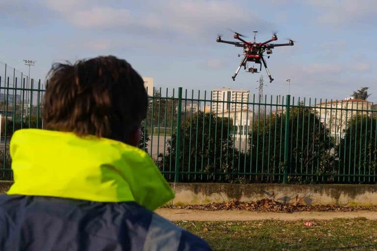
Aerial inspection by drone
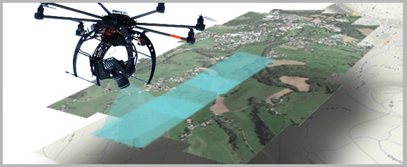
Surveillance and inspection of the condition of equipment, buildings or engineered structures using a drone is a necessary and complicated task in many sectors.
Aerial inspection by drone is an important step in this direction. Our systems allow great mobility and speed during the operation with a zero risk factor


Drone inspection
More than 80 sites inspected per year since 2012
- ^MORE THAN 300 CUSTOMERS
- ^INTERVENTION IN FRANCE / SWITZERLAND / LUXEMBOURG
- ^DGAC / PREFECTURE / ARMY AUTHORISATION
years of experience
Our expertise
The different application areas of the drone inspection

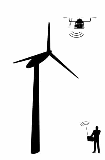
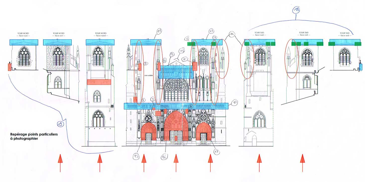
Engineered structure inspection
Dam, bridge, viaduct, historical monument, so many subjects that we have been inspecting since 2012.
The inaccessibility of these subjects makes them particularly suitable for aerial inspection by drone.
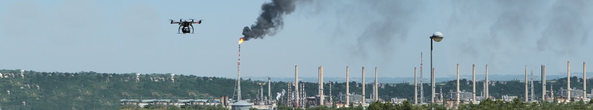
Industrial inspection
We have been specialised in industrial inspection for 10 years, and we work on sensitive sites SEVESO I, II and III.
Foundry, steel industry, rolling mills, hot and cold industrial tool, thermal power station are some examples of our inspection subjects.

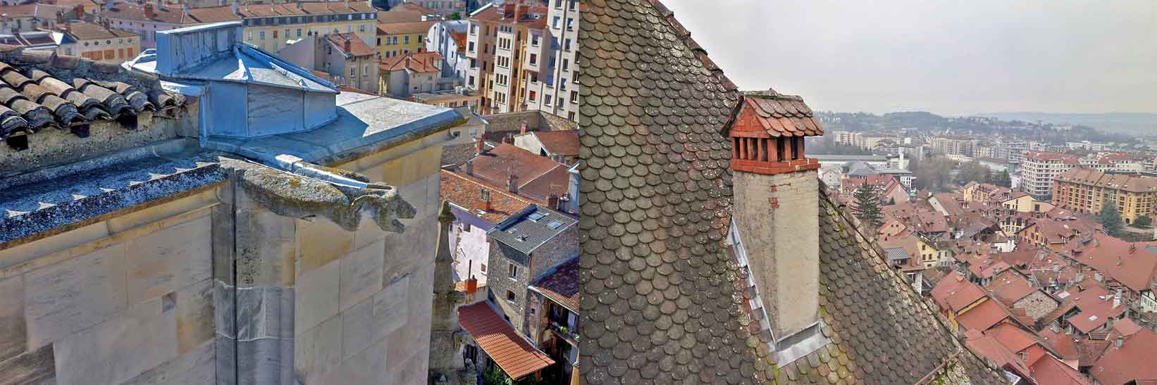
Roof and building inspection
The inspection of zinc works – water flows (gutters) – is facilitated thanks to the drone. The overflight of the roof is fast. Inspection can be done from any angle.
Inaccessible and dangerous places such as cornices can be reached and inspected without endangering the lives of personnel.
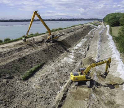
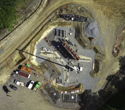
Construction site monitoring
We help our clients to have a vision of the evolution of their sites from a few months to several years.
Creation or renovation of stadiums, motorway works, renovation and creation of urban districts, development of fauna and flora.
METHODOLOGY
Aerial inspection process
Specifications
On-site capture
Creation of a secure area, flight plan, technical inspection, customer video feedback.
Exploitation of renderings

Aerial inspection by drone in detail
Questions about your inspection?
- 5One-time inspection
- 5Regular inspections to monitor the evolution of a site
- 5Detailed inspections, for particularly sensitive sites requiring further analysis
The conditions of the aerial inspection
Focus on construction site monitoring >>
Our solutions have been tested and approved by our customers such as EDF, GRDF, Léon Grosse, Eiffage or Akuo Solar.
We work together with our industrial partners to implement solutions adapted to the problems of each of our customers. Focus on industrial inspection >>- 5Rainproof IP43-certified drone
- 5Flight time over 30 minutes
- 5Dual sensor camera
FAQ
Aerial inspection by drone
Frequently Asked Questions
How is the inspection data acquisition carried out?
Our aerial inspection system allows our customers to inspect their buildings and facilities from the ground to direct the inspection in real time. The rendering is thus validated and the critical areas are defined and inspected. We adapt the drone depending on the type of data desired (photographs, video, thermographs or orthophotographic surveys).
We offer several types of aerial inspection renderings to optimise the amount of data captured and facilitate subsequent study:
- Photographic surveys : precise and localised areas, submillimetrical definition.
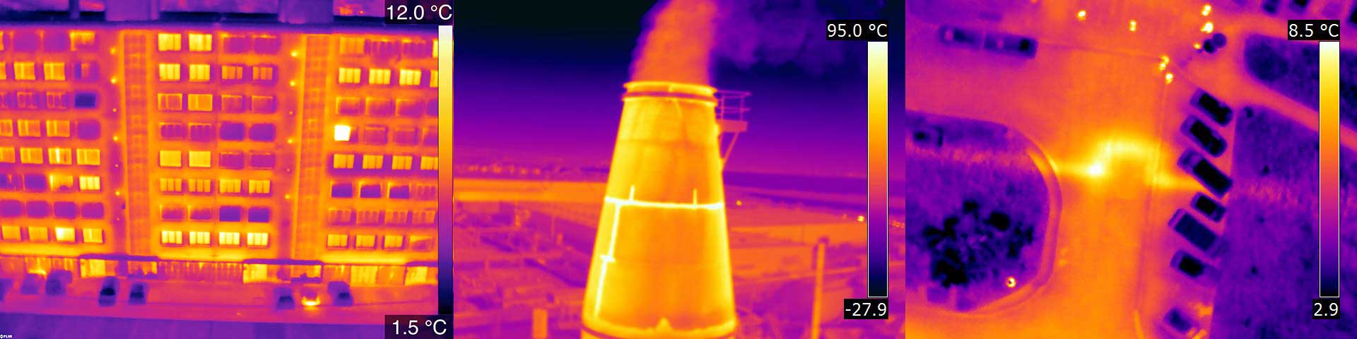
- Aerial thermography : sealing of structures, heat balances, defective solar cells, electrical equipment.
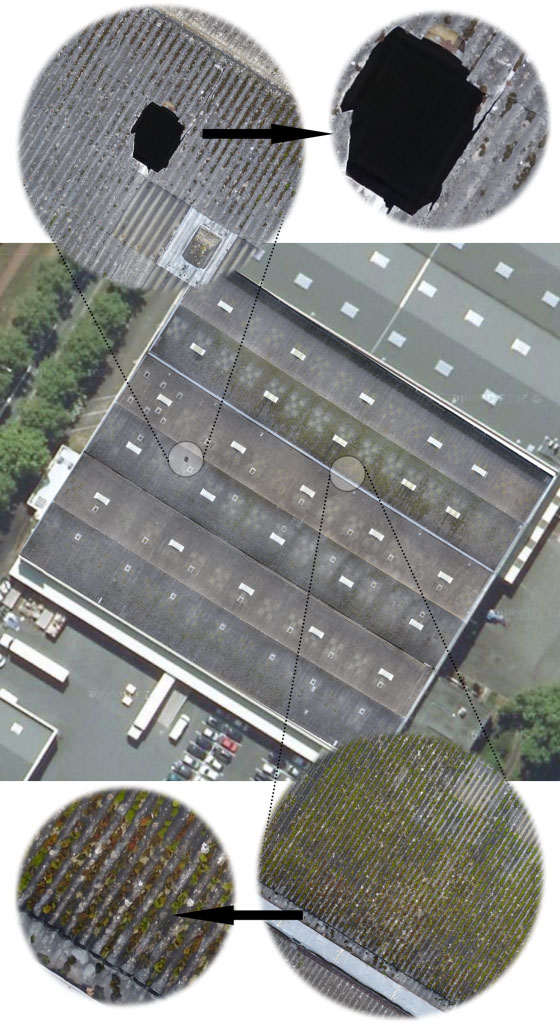
- Orthoplans : high-definition large surfaces (roofs, cracked concrete slabs, engineered structures).
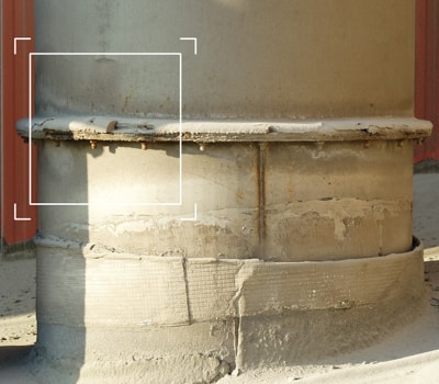
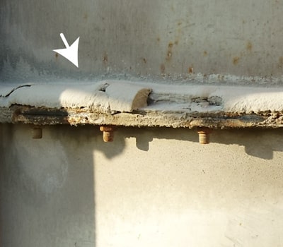
What precision of the inspection?
Our high-resolution images allow to observe all types of building disorders with millimetric precision, revealing the tiniest defects in the structure. The challenge is to provide you with a set of images which will allow to draw up a report of the degradations and defects of your site after analysis.
What is the inspection by orthophotography?
 The following orthophotography was taken as part of a roof inspection, covering 6000 m² and required 300 shots. The final result allows us to obtain a centimetre resolution!
 We deliver to the customer the georeferenced and georectified orthophotographs accompanied by software allowing their exploitation.
>> Learn more about orthophotography
We deliver to the customer the georeferenced and georectified orthophotographs accompanied by software allowing their exploitation.
>> Learn more about orthophotography
What is thermal sensor inspection?
- In the building sector : the inspection reveals faults in the insulation of the building.
- In the industry sector : the inspection reveals thermal anomalies (leaks, hotspots, etc.) on the site.
 Following this recording work, we deliver a paper and electronic report indicating the particularities of the mission and the disorders observed.
>> Learn more about aerial thermography
Following this recording work, we deliver a paper and electronic report indicating the particularities of the mission and the disorders observed.
>> Learn more about aerial thermography

- 8, rue de la Madeleine - 69007 LYON
- 04 37 28 67 25
- contact@studiofly.fr