Thermographic drone
THERMAL MAPPING
High-resolution thermal plans.


Thermal mapping
Thermal mapping of various domains
Thermal drone mapping allows to develop high-resolution thermal maps useful in various fields: building, urban planning, industry or even agricultural production.
Thermal mapping methodology
What is thermal drone mapping ?
Thermal inspection and orthophotography
Thermal drone mapping combines aerial thermal inspection and orthophotography. The drone is equipped with a high-sensitivity thermal camera that allows infrared images to be obtained. These highlight the temperature differences through colour scale or thermogram modelling.
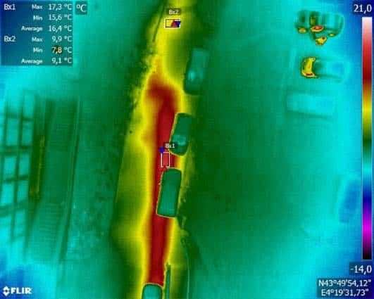
The capture of thermal images is associated with aerial orthophotography. Thus, it is easier to locate and identify the origin of anomalies by superimposing the two images. A thermal engineer is in charge of interpreting this data to guide you towards the implementation of corrective actions.
To allow the integration of thermal drone mapping in a geographic information system or GIS, it must be georeferenced with precision. For this, we use a GPS RTK with centimetre precision. It allows us to georeference a certain number of fixed points. The coordinates of the other points of the images are then calculated with reference to these fixed points.

This method allows to make the georeferencing of orthophotographs more reliable and to achieve a map rendering of great precision. It can then be injected into a GIS or superimposed on a cadastre-type plan.
Application of drone mapping
The uses of thermal drone mapping
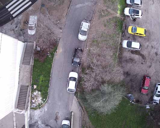
Mapping of industrial or urban buried heat networks

It then becomes possible to establish a precise georeferenced plan of the pipes, which can be integrated into a GIS.
Group diagnosis of energy losses in buildings
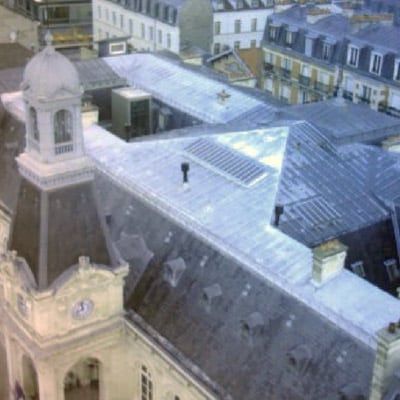
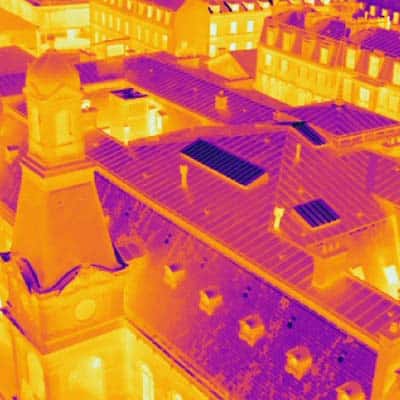
The purpose of such an approach is to save energy and natural resources.
Mapping of heat islands in cities

In certain configurations, urban ground coverings and the construction materials used contribute to significantly increasing temperatures in the heart of cities.
Particularly during heat waves, these surfaces restore the heat stored during the day at night and prevent the ambient air from cooling down at night.
The drone mapping of these heat islands allows communities to reconsider certain urban developments taking into account these new constraints to improve the living comfort of the inhabitants.
Inspection of cultivated or natural plant cover

Thermal drone mapping is also a tool for crop management.
The highlighting of temperature differences within a plant cover allows to identify various problems, such as the development of a disease or a localised growth defect.
This method also allows the identification of the presence of certain plant species in a natural environment.
Our expertise in drone mapping also extends to other areas of application :

- 8, rue de la Madeleine - 69007 LYON
- 04 37 28 67 25
- contact@studiofly.fr